Given the nature of my career in wetland mapping and geospatial technology, I’ve had some pretty incredible opportunities to travel to remote areas and collect data that helps inform federal agencies and protect our nation’s ecosystems. Most of my experiences come from working on the National Wetlands Inventory (NWI), a program run by the U.S. Fish and Wildlife Service (USFWS). On each of our trips, the field data we collect is critical for validating the mapping we have conducted and answering any questions we come up against. One such project included traveling to remote areas of Cold Bay and Adak, parts of the Aleutian Islands of Alaska, and the ancestral lands of the Aleut people.
Aiding in Natural Resource Management and Habitat Preservation
The islands, which are not accessible by road and can only be reached by air or sea, had never been mapped in the NWI program. The novel work we conduct aids in natural resource management and habitat preservation by providing detailed information on the abundance, characteristics, and distribution of wetlands and hydrologic networks.
Over the course of five days, we traversed through the Izembek National Wildlife Refuge and the area surrounding Frosty Peak Volcano in Cold Bay, Alaska. We verified our preliminary wetland mapping data and answered key questions such as, “was this wetland seasonally or continuously saturated?” and “were these hydrophytes salt tolerant?” In some cases, we even had to ask ourselves if we were looking at a bear’s den.
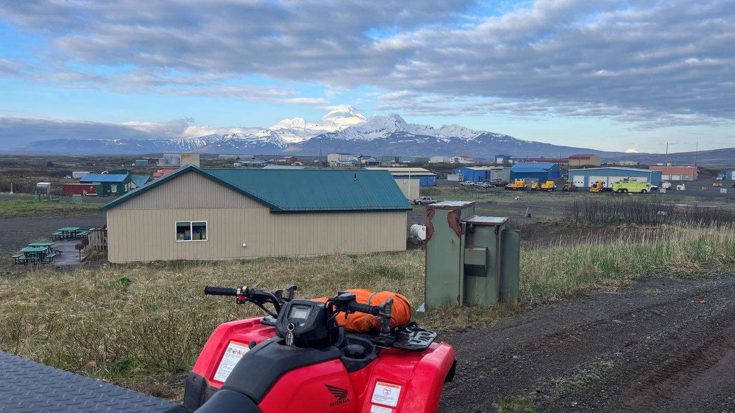
 A view of Cold Bay and my ATV during the trip.
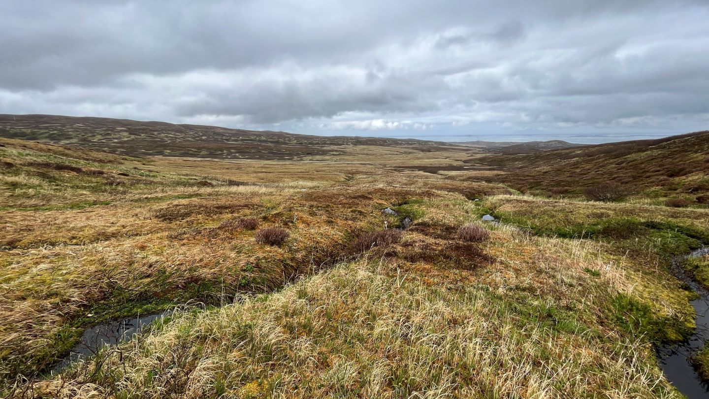
 Wetland valley near Frosty Peak.
After Cold Bay, we traveled to Adak, aptly nicknamed The Birthplace of the Winds. Unlike Cold Bay, Adak offered respite from the threat of bears, as no predators larger than a fox inhabit the island, allowing us to focus solely on our fieldwork objectives. A typical day in the field included a five- to 10-mile hike, shouting over the howling winds, and dumping excess water from our wetland boots.
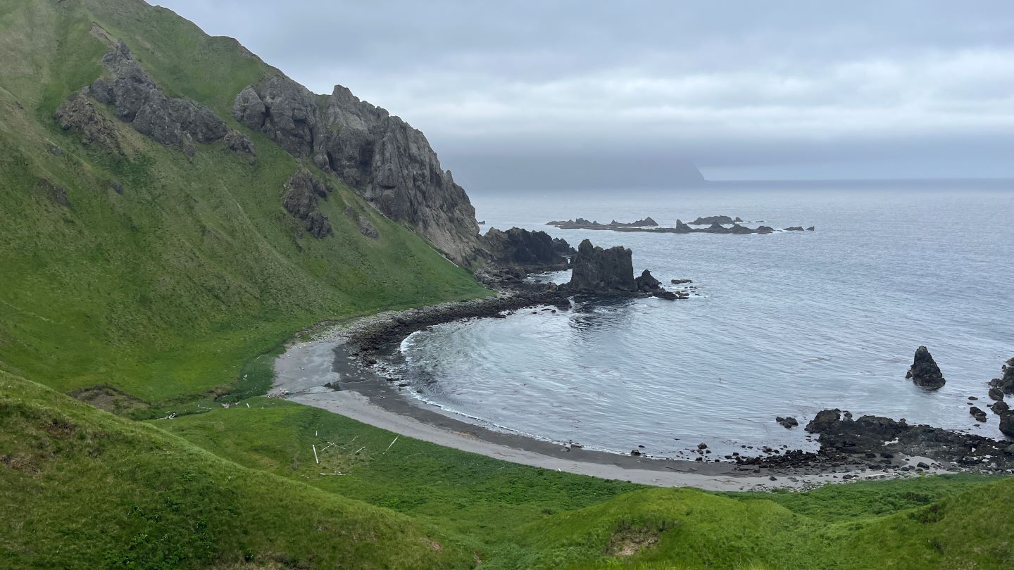
 A view of the Bering Sea from Adak, Alaska.
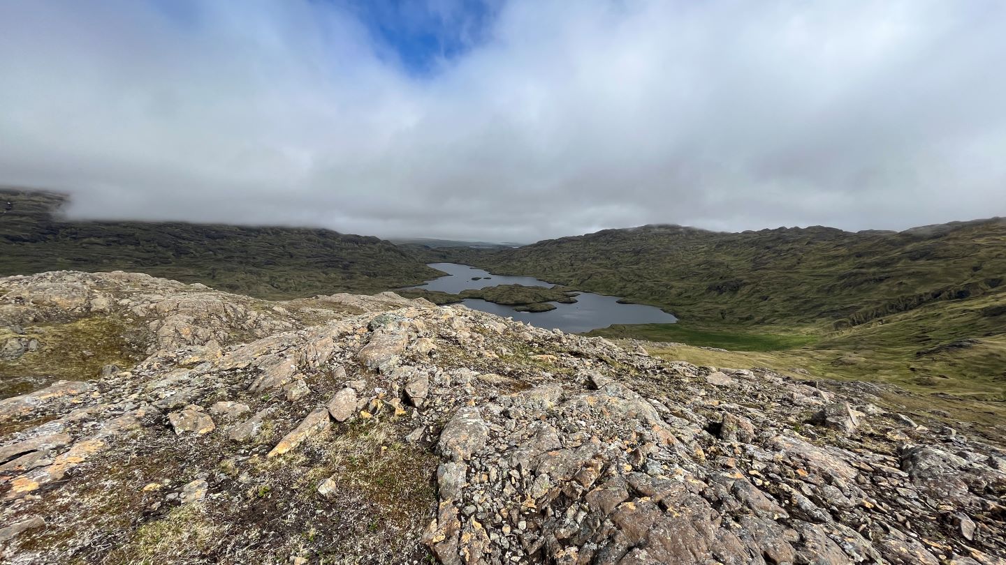
 A view of Lake Betty from the Alaska Maritime National Wildlife Refuge.
Safety as a Priority
Safety was front of mind through the life cycle of this project. To prepare ourselves, we worked with our health, safety, and environment team to create a site-specific health and safety plan (SSHASP). Over the course of a few months, we identified potential hazards and worked out solutions for things we might face in the field, including procuring effective cold weather gear, scheduling wilderness first aid, and ATV training.
Undoubtedly, fieldwork in the Aleutian Islands presented its share of challenges, particularly for a team hailing from the shores of Tampa, Florida. We contended with a variety of overnight layovers, red-eye flights, unpredictable weather, the threat of bears, miles of hiking, and more. The days were long, not only because the sun was up until 11 p.m., but because we wanted to maximize data collection with limited time in each area.
The novel work we conduct aids in natural resource management and habitat preservation by providing detailed information on the abundance, characteristics, and distribution of wetlands and hydrologic networks."
Zac Winters
Reflecting on my tenure at Dewberry, which has afforded me numerous opportunities for fieldwork across diverse landscapes in the U.S., my experience in the Aleutian Islands remains my most unique. It is a testament to the hard, and usually wet, work that goes into mapping wetlands. Thankfully, we prepared for what we could, and left ourselves open to the possibility of everything changing with the wind. The trip was successful on many fronts, as we successfully mapped wetlands in a previously unmapped portion of the country.